Season’s greetings fellow Sandbloggers, Sandbloggists, and everyone else! The following consultation projects are a sampler plate on what has been going on in the Sandbox throughout this past year!
Mapping Historic Nazi Activities in LA
First up, we have a consultation project commissioned by Caroline Luce, a post-doc from the Center for Jewish Studies, by which historical newspapers and publications from the 1930’s were used to compare locations of anti-Semitic and anti-Nazi activities. The resulting maproom was a timeline which was used to create markers onto a webmap, as seen below:
Activities along the LA River for the Play the LA River Project
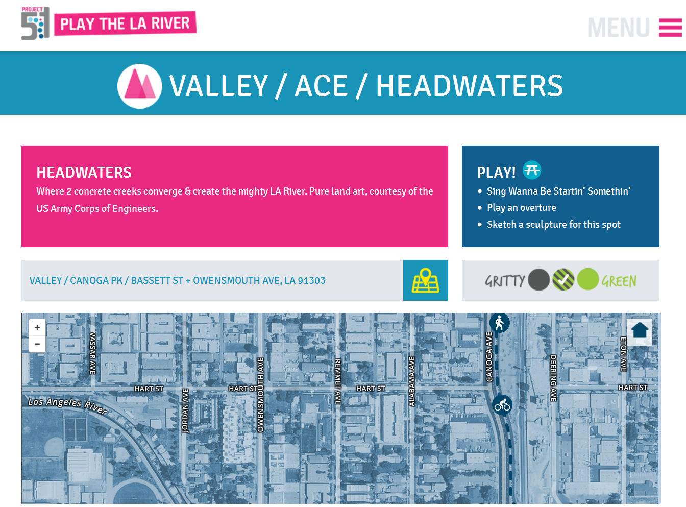
Next is a web mapping project for the Play the LA River project which seeks to raise awareness about the multitude of uses along the Los Angeles River in addition to efforts to green the corridor. One major component for the outreach lies with a customized deck of playing cards which presents information on 56 different sites along the river. The particular task at hand was to replicate the design style featured on the printed cards as closely as possible.
We chose the Mapbox platform because of its capability to shade and tint satellite imagery. Furthermore, Mapbox supports Leaflet, which is a highly efficient mapping application for mobile devices. In order to create the map, following workflow was used:
1) The tinted map was prepared on Mapbox and then used to populate an empty Leaflet maproom.
2) Geojson.io was used to assign and populate points that were seen on each of the cards.
2b) Specific fields were used for styling the map in various ways, for example a “category” field chose the marker type, and “category_path” customized the way a line would appear.
2c) The geojson file was then exported for testing with the Leaflet maproom.
3) CSS and mapping elements for the Leaflet maproom was tweaked in order to resemble the printed map as close as possible.
You can find out more and see the maps in action on the LA River website:


