 Do you want to do more to immediately help people affected by our recent natural disasters? Does the word ‘Trojan’ instantly destroy your day? Interested in free food?
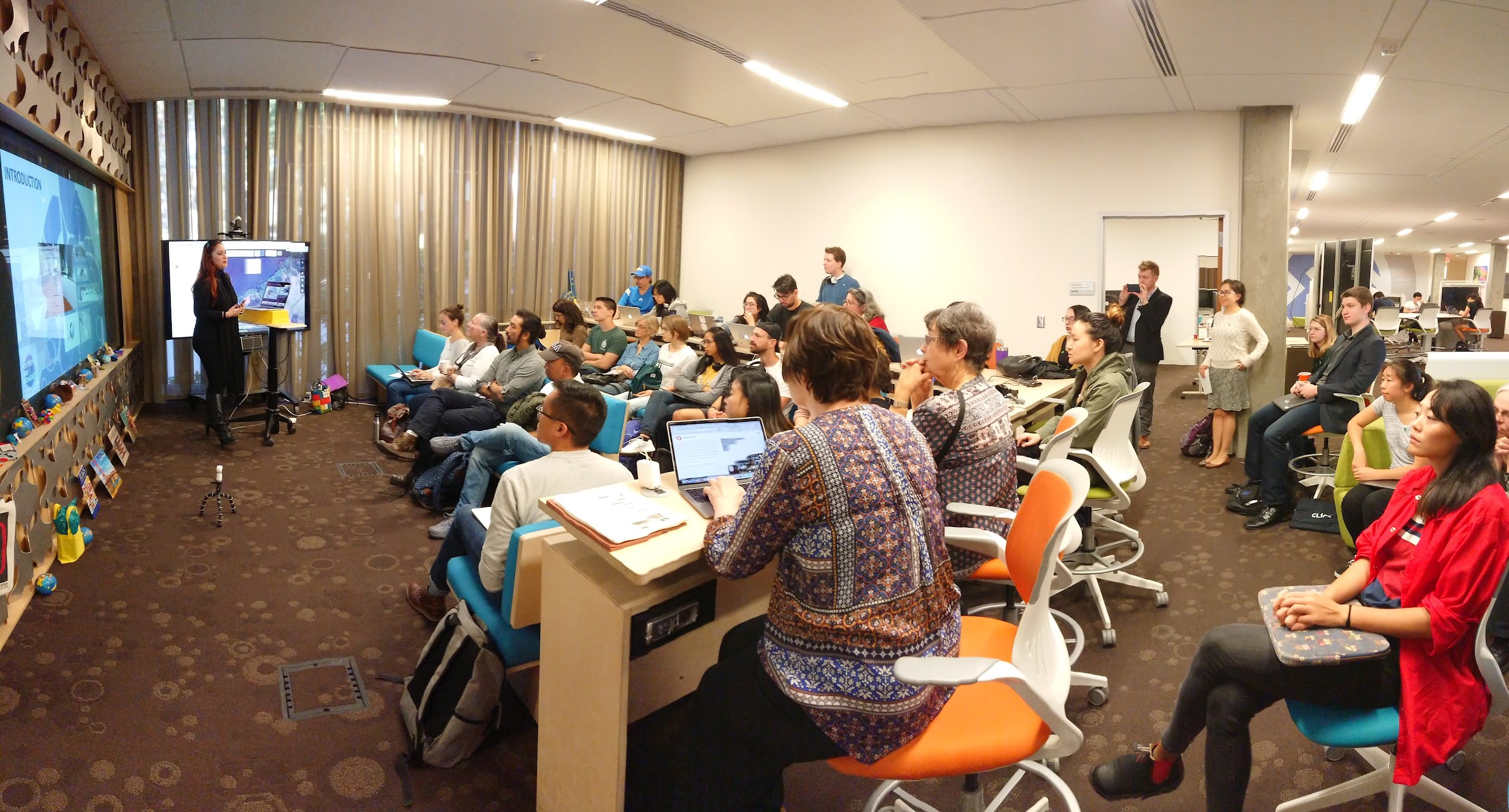
If you answered yes to any of those questions, stop by Charles E. Young Research Library for Battle of the Maps, a Humanitarian Map-a-Thon event. Refreshments and lunch will be provided in addition to short talks!
RSVP at https://calendar.library.ucla.edu/event/4727465
The Mapathon
Watch the video below to see what this is all about: technology volunteerism for humanitarian aid!
Spatial Thinkers
Prior to the Mapathon, USC and UCLA will showcase our “spatial thinkers,” putting a spotlight on innovative ideas that informs research that traverses space and time.
10:00 Opening
39°45’41.6″N, 121°36’25.1″W
Source imagery: NASA – National Aeronautics and Space Administration
10:10 Francesca Albrezzi (UCLA) on sharing exhibition spaces through immersive technologies

10:18 Kevin Barrow (USC) on neighborhood data for social change
10:26 Henry Haprov and Hunter Deckelman (UCLA)
 .
. 
10:34 Kurt Daum (USC) on connecting with Skid Row
10:42 Maddie Yakal (UCLA) on rice, terraces, and drones

10:50 Matt Bui (USC) on critical cartography
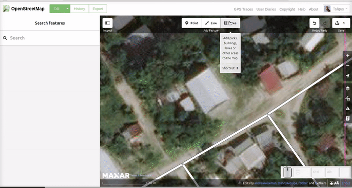
11:00 Mapathon: Battle of the Maps
- James Walker presents the Mapathon

- Yoh Kawano’s Mapathon Tutorial

- Leaderboard

- HOT Tasks
- Uganda/DRC Project on Ebola
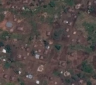
The evolving Ebola situation in the DRC makes it extremely urgent to map all tracks, pathways, health facilities and other infrastructure in towns and villages serving the borders. There is a severe lack of up-to-date and detailed maps of this area available to those involved in the fight to contain the outbreak. - Ifugao, Philippines – Mapping for Food Security
 In the Philippines, many areas lack the infrastructure to support local agriculture, leaving communities to rely on convenience stores, where processed foods like instant noodles become staples of their diet. Food security intersects each of the United Nations Sustainable Development Goals, so addressing how we feed our families lies at the core of our well being. Access to good, clean and fair food is the catalyst to achieving peace and prosperity for our most vulnerable communities.
- Flood Response 2018 – South of Kochi, India

Monsoon rains have caused severe flooding in the Kerala Region of India. Your help is needed to map affect areas so aid agencies and local responders can better assist in the recovery. - Niger
Please help Médecins Sans Frontières / Doctors Without Borders (MSF) teams operating in Diffa, Niger by mapping roads, buildings and residential areas.
- Uganda/DRC Project on Ebola