Oh ArcMap, sometimes you can be so complicated and other times you can be even more complicated! For what it needs to do, which is geoprocessing, ArcMap works well. But for the images… sometimes, I wish there was more room visual design.
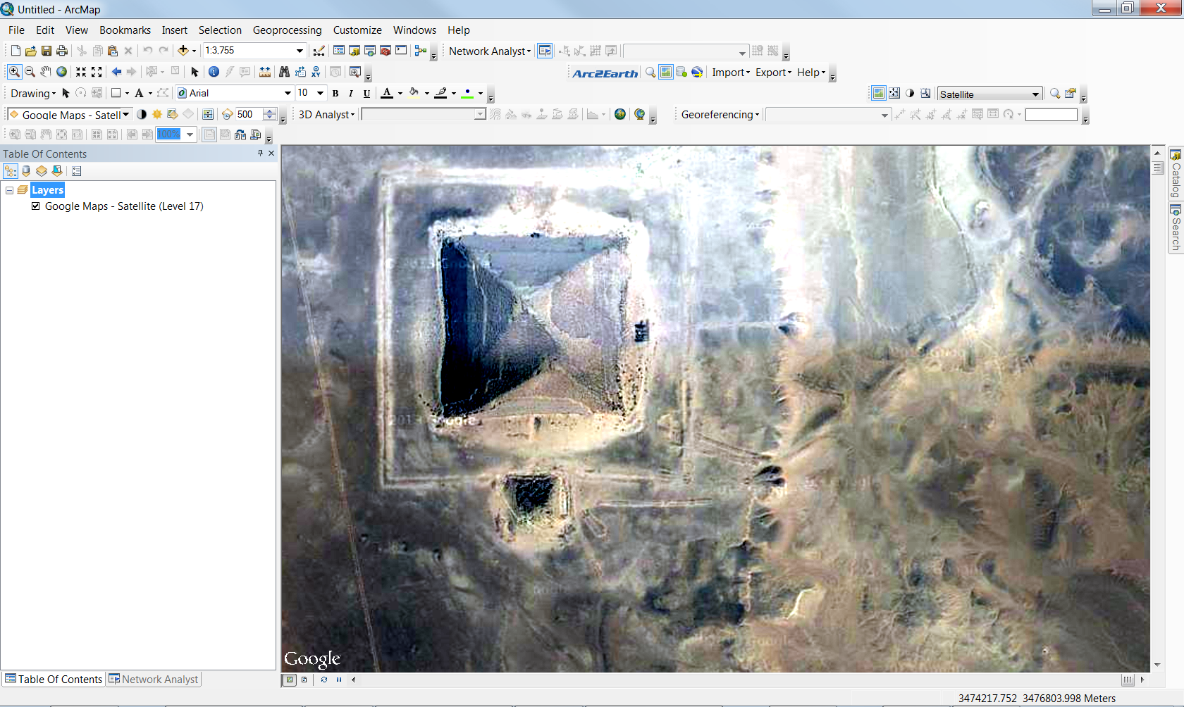
So today’s issue deals with satellite imagery not displaying properly.

For those that tremble with the appalling picture quality, fear no longer! As the issue can be resolved by simply changing the raster render option to Customize –> ArcMap Settings and then the Raster tab –> Raster Layer

Make sure that the “Enable Custom Rendering Defaults” is checked and look for “Stretch type” The default should be the very unpleasing “Standard Deviation”
Then you have to switch the stretch type to the “Minimum-Maximum” like so:

And….

Wallah! Success! A raster image that looks more true to the original!